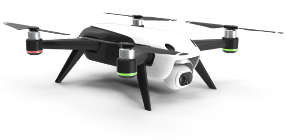
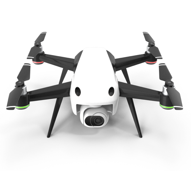
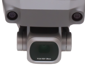
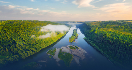
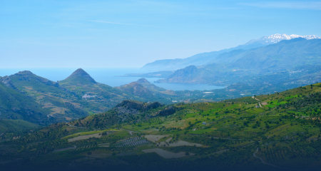
The highest quality aerial video and photography of any location
Mapping & Modeling
High Quality and fulling interactive 2D and 3D modeling for any function from contracting to delivery pathing
Marketing Packages
We edit, touch-up, and organize your visual data into packages designed to increase lead and sale generation
Survey & Inspection
Both home and commercial construction or renovation inspections and updates for everything from planning to approvals
Flight Operations Network
How Our Drone Mapping Works
We have developed a revolutionary to map large areas at high resolution with cutting edge sensors. Using a trained pilot network, airspace integration experts, and cloud-based processing- we create a digital twin of the earth when we fly. We use this to prevent wildfires, grow better food, keep communities safe, and help rebuild after natural disasters
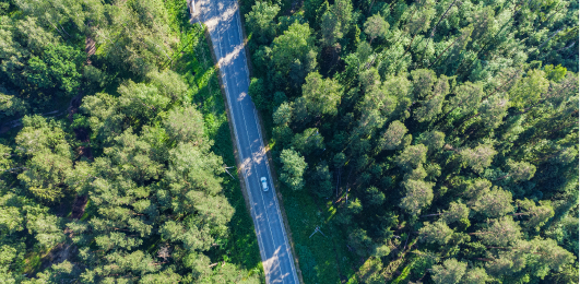
Video Mapping
Utilizing Video cameras, Tesla Drones capture important data need for immediate decision making. "Real Time"
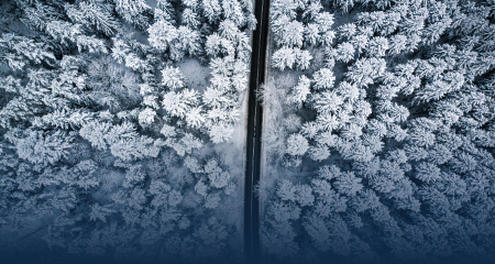
Low Level Flights
With appropreate permissions important fire prevention, rodent management and soil analisys can be collected mapping an aera of less than 10 square ft.
Sensor Arrays
Sensor Arrays provide continuous, timed or interrupted data streaming to the cloud or other storage.
15-120 Minute Flights
Line of Site and Out of Site is used when creating maps that typically are forced to use more expensive methods such-as low
flying light aircraft or satellites.
Mapping network any location around the world
Mapping from 0 to 500 ft AGL
To make the jump from maps being “pretty pictures” to powerful tools, we have to have a reliable and repeatable system of mapping. We continually work to make mapping more efficient, more powerful and provide the platform to help change the world.
AERIAL robotics PROJECT
Satellite, and Light Aircraft vs Drone Mapping
The true value of aerial mapping is the ability for the user to glean the important data need for them to make in some cases a life-altering change in direction. Tesla Aerial Robotics provides extreme layers of data in many cases where humans can’t reach or view.
Our inspiration
Nikola Tesla
Nikola Tesla was a visionary who could visualize solutions that could change the world. When we look at large problems in the world like climate change, deforestation, and wildfires- we aim to have the same desire and commitment in how we act.
His ideals, patents, and inventions inspire and fuel the principles that make our company what it is, and we intend to carry on that legacy to the fullest.
Our Team
Our Experienced Team Members
Utilizing legacy aerospace connections and visions of an innovative future, we fight problems from the air that have never been touched before.
"Using drones for our home inspection was a game-changer! The drone was able to capture high-resolution images of every inch of our property, even the hard-to-reach areas like the roof and gutters. This saved us time and money in the long run, as it allowed us to identify potential issues before they became major problems."
"As a home builder, we've been using drones to survey our properties before construction begins. The drone provides us with a detailed 3D map of the site, which helps us to plan the placement of buildings, roads, and other infrastructure. This has improved our efficiency and accuracy, and our clients have been thrilled with the results."
"We hired a drone pilot to conduct a security survey of our property, and we were blown away by the results. The drone was able to fly over our fence and capture high-quality footage of every angle of our property. This helped us to identify weak spots in our security system and make necessary improvements to keep our property safe."
"I used a drone to capture aerial footage of my home for a real estate listing, and it made all the difference! The drone footage gave potential buyers a unique perspective on the property, highlighting its best features and giving them a sense of the surrounding neighborhood. I received multiple offers and sold my home quickly thanks in part to the drone footage."
Overall, clients are finding drones to be a valuable tool in a variety of home-related applications, including building, inspections, surveys, security, and marketing. Drones provide a unique perspective and the ability to capture high-quality images and data, which can help clients save time and money, improve efficiency, and make informed decisions about their properties.